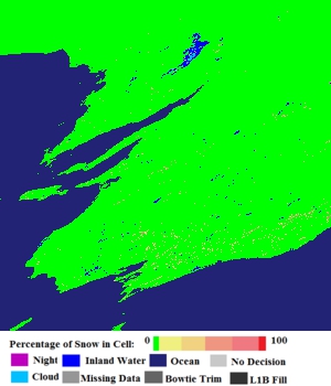
NDSI classes 1–100 count as snow-covered; 0 is valid no-snow. Cover is never compared numerically with forecast centimetres or accumulated SWE.
Adapter ready · verification pending
No real snapshot has been refreshed yet
NASA’s catalogue identifies the correct Australian Alps tile for 10 June 2021, but the scientific pixels require an Earthdata Login token. No browse image or synthetic fixture is being presented as observed evidence. Pending until two authenticated scientific scenes are processed; a single scene is an ingestion and terrain summary only.
Method and limits
What processing and verification report
Cloud persistence 0 is a same-day clear view. Values 1–254 are carried-forward cloud-gap estimates and remain a separate fraction; 255 is unknown.
Geoscience Australia elevation masks are averaged into VIIRS pixels and used as area weights for ≥1400, 1500, 1600, 1800 and 2000 m summaries. DEM footprint, valid area and no-data area are disclosed separately.
New cover requires same-day clear before and after scenes (cloud persistence 0 in both). Optional forecast overlap, miss and false-alarm areas are scored only on that clear-comparable footprint and require explicit run and validity timing.
Source: VIIRS/NPP CGF Snow Cover Daily L3 Global 375m SIN Grid, Version 2. See the official user guide and dataset DOI. NASA/NSIDC requires the dataset citation when derived observations are published.